Africa is surrounded by thousands of islands, ranging from Madagascar, the fourth-largest island in the world, to smaller volcanic islands in the Atlantic and Indian oceans.
Some islands are independent countries, while others belong to African mainland states or overseas territories administered by European countries.
The following list includes major islands geographically associated with Africa, with approximate land areas. It distinguishes individual islands from island groups and archipelagos.
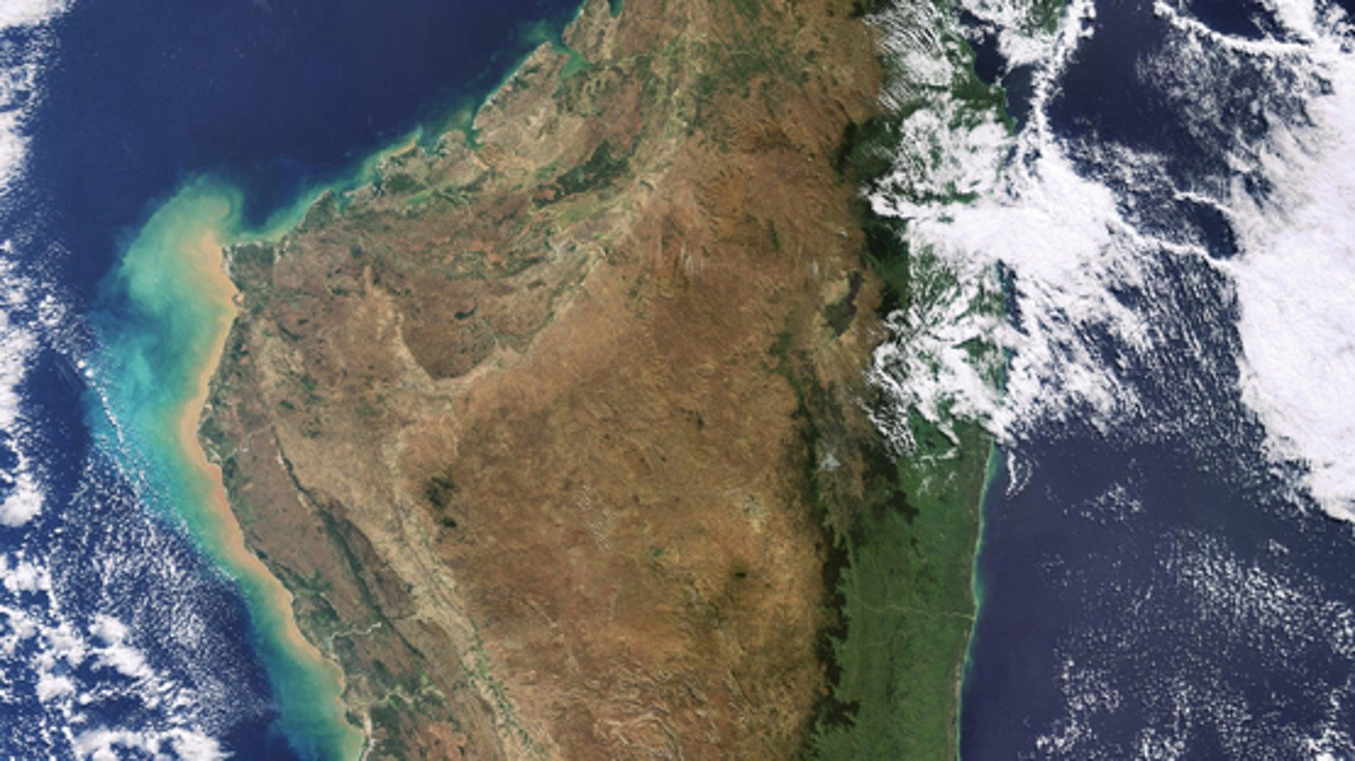
1. Madagascar
Area: approximately 587,041 km²

Image credit: scientificamerican.com
Madagascar is the largest island in Africa and the fourth-largest island in the world.
Located in the Indian Ocean off Mozambique, it is separated from mainland Africa by the Mozambique Channel.
Madagascar is an independent country with its capital in Antananarivo. Its wildlife includes lemurs and numerous species found nowhere else naturally.
2. Réunion
Area: approximately 2,512 km²

Image credit: en.reunion.fr
Réunion is a French overseas department in the Indian Ocean, east of Madagascar.
The island is volcanic and includes Piton de la Fournaise, one of the world's most active volcanoes.
Its administrative centre is Saint-Denis. Réunion is geographically African but politically part of France.
3. Tenerife
Area: approximately 2,034 km²

Image credit: service.vtraveler.info
Tenerife is the largest of Spain's Canary Islands, situated in the Atlantic Ocean off northwestern Africa.
The island contains Mount Teide, Spain's highest mountain, rising to approximately 3,715 metres above sea level.
Tenerife belongs to Spain and the European Union, although it lies geographically close to Africa.
4. Bioko – Equatorial Guinea
Area: approximately 2,017 km²

Image credit: experience-travel.net
Bioko lies in the Gulf of Guinea off the coast of Cameroon.
It is part of Equatorial Guinea and contains Malabo, the country's historic capital.
The island has volcanic mountains, tropical forests and coastal settlements.
5. Mauritius
Area: approximately 1,865 km²

Image credit: heritageresorts.mu
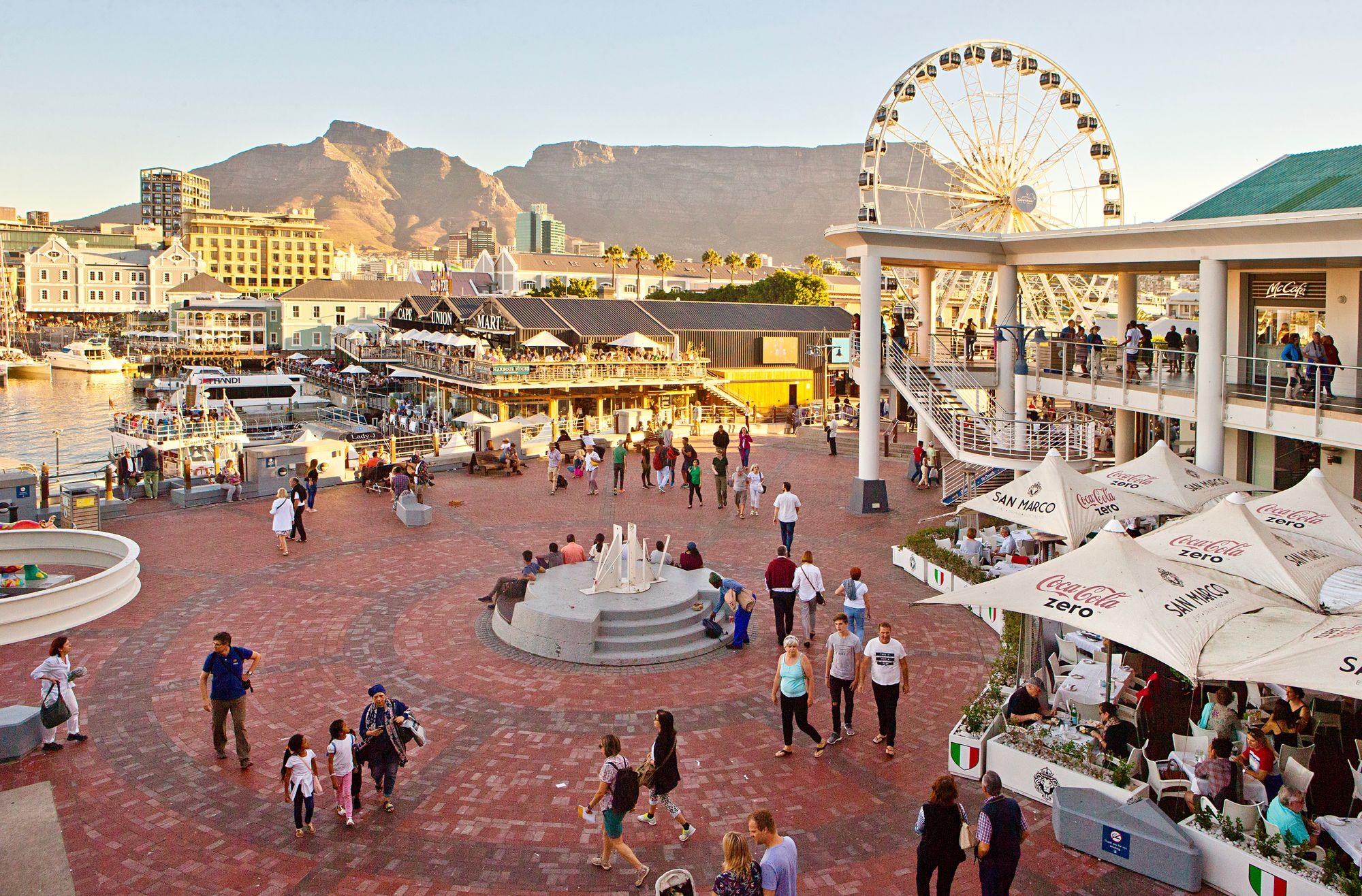
Mauritius is the principal island of the Republic of Mauritius.
Located east of Madagascar, it is known for its volcanic landscapes, beaches and coral reefs.
The island contains the national capital, Port Louis, and most of the country's population.
6. Unguja – Tanzania
Area: approximately 1,666 km²

Image credit: musement.com
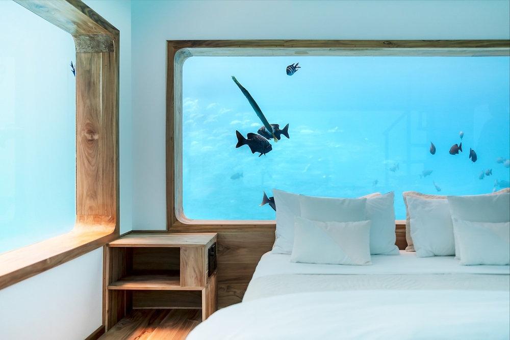
Unguja is commonly called Zanzibar Island and is the largest island in the Zanzibar archipelago.
It forms part of Tanzania's semi-autonomous Zanzibar region.
Stone Town, a UNESCO World Heritage Site, is located on Unguja and contains historic buildings associated with Indian Ocean trade.
7. Fuerteventura – Canary Islands
Area: approximately 1,660 km²

Fuerteventura is the second-largest Canary Island.
It lies in the Atlantic Ocean near the Moroccan coast and is known for its dry landscapes, beaches and volcanic terrain.
The island is administered by Spain.
8. Gran Canaria – Canary Islands
Area: approximately 1,560 km²

Image credit: airial.travel
Gran Canaria is another major island in the Spanish Canary Islands.
Its principal city, Las Palmas de Gran Canaria, is one of the capitals of the Canary Islands autonomous community.
The island has mountainous interiors, coastal settlements and extensive tourism infrastructure.
9. Grande Comore – Comoros
Area: approximately 1,148 km²

Image credit: kupi.com
Grande Comore, also known as Ngazidja, is the largest island of the Union of the Comoros.
It lies in the northern Mozambique Channel and contains Moroni, the national capital.
Mount Karthala, an active volcano, dominates much of the island's landscape.
10. Pemba – Tanzania
Area: approximately 988 km²

Image credit: gangwaze.com
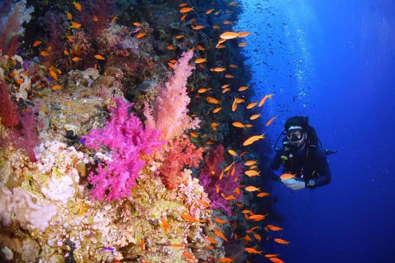
Pemba is the second-largest principal island in the Zanzibar archipelago.
Located north of Unguja, it is known for agriculture, particularly clove cultivation, and its surrounding marine ecosystems.
Pemba forms part of Tanzania's semi-autonomous Zanzibar region.